
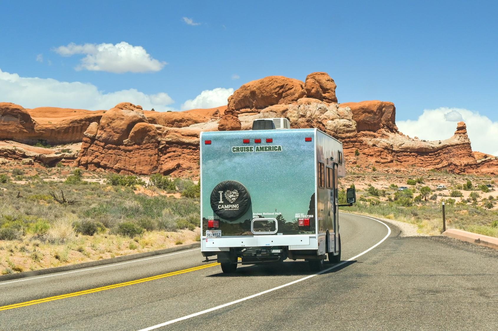
The cheapest flight is not always the cheapest trip. Every extra hundred miles in a rental motorhome costs fuel, rental miles and part of a holiday day. Pick the park you care most about, and two airports if you already have fares for them. The tool tells you how far each airport is, which RV depots sit near it, and what changes when you switch.
Your result
Pick a park to see the result.
Drive figures are car estimates from OpenStreetMap routing, airport to park, no stops [A]. A motorhome is slower: we add an hour or two on a full day [A]. Fuel uses 7–10 mpg for fleet Class C motorhomes from agent sheets [A]. The page address keeps your choice, so you can share it.
Quick answer
- Zion, Bryce, Grand Canyon, Death Valley: Las Vegas is the shortest start for Zion and Death Valley; Phoenix is the shortest for the Grand Canyon South Rim (233 mi vs 278 mi from Las Vegas) [A].
- Arches and Bryce: Salt Lake City is closest to Arches (236 mi) and close to Bryce (275 mi, about the same as Las Vegas) [A].
- Yellowstone: Bozeman is about 122 mi from Old Faithful, Salt Lake City about 356 mi [A]. In winter most park roads are closed (NPS).
- Rocky Mountain: Denver, 76 mi to Estes Park [A].
- California entry (LAX, SFO): good for Joshua Tree (LAX, 144 mi), Yosemite (SFO, 187 mi) and Death Valley (LAX, 270 mi). For Zion or the Grand Canyon you start 440 to 780 mi away, so a one-way rental or a domestic connection to Las Vegas or Phoenix is worth pricing.
All drive distances
Airport terminal to the park point named, by car, no stops [OSRM, A]. Miles first, kilometres below.
| Park | LAS | PHX | SLC | DEN | BZN | LAX | SFO |
|---|---|---|---|---|---|---|---|
| Grand Canyon (South Rim) | 278 mi447 km | 233 mi375 km | 528 mi850 km | 706 mi1,136 km | 932 mi1,500 km | 508 mi818 km | 782 mi1,259 km |
| Zion (Springdale) | 171 mi275 km | 397 mi639 km | 313 mi504 km | 660 mi1,062 km | 716 mi1,152 km | 444 mi715 km | 718 mi1,156 km |
| Bryce Canyon | 273 mi439 km | 432 mi695 km | 275 mi443 km | 591 mi951 km | 678 mi1,091 km | 545 mi877 km | 820 mi1,320 km |
| Arches (Moab) | 466 mi750 km | 477 mi768 km | 236 mi380 km | 375 mi604 km | 639 mi1,028 km | 738 mi1,188 km | 975 mi1,569 km |
| Yellowstone (Old Faithful) | 783 mi1,260 km | 1,016 mi1,635 km | 356 mi573 km | 558 mi898 km | 122 mi196 km | 1,055 mi1,698 km | 980 mi1,577 km |
| Grand Teton (Jackson) | 680 mi1,094 km | 914 mi1,471 km | 282 mi454 km | 519 mi835 km | 217 mi349 km | 952 mi1,532 km | 930 mi1,497 km |
| Rocky Mountain (Estes Park) | 808 mi1,300 km | 873 mi1,405 km | 500 mi805 km | 76 mi122 km | 690 mi1,110 km | 1,081 mi1,740 km | 1,239 mi1,994 km |
| Yosemite Valley | 418 mi673 km | 686 mi1,104 km | 612 mi985 km | 1,070 mi1,722 km | 985 mi1,585 km | 315 mi507 km | 187 mi301 km |
| Joshua Tree | 196 mi315 km | 295 mi475 km | 622 mi1,001 km | 969 mi1,559 km | 1,025 mi1,650 km | 144 mi232 km | 482 mi776 km |
| Death Valley (Furnace Creek) | 121 mi195 km | 406 mi653 km | 557 mi896 km | 904 mi1,455 km | 960 mi1,545 km | 270 mi435 km | 501 mi806 km |
RV depots near each airport
From each rental company’s own location pages. Distances are what the company publishes; where it only says “minutes”, we quote it. Nobody on this list picks you up at the terminal as standard: Cruise America says you arrange your own transport. More in airport pickup and one-way fees and the Arrival check, which tests your landing time against depot hours.
Las Vegas (LAS)
- Cruise America: Henderson, 551 N. Gibson Rd · about 15–20 min (Cruise America) from the airport · Uber/Lyft named by Cruise America; closed Sundays [CA-LAS]
- Cruise America: Las Vegas North, 1700 Industrial Rd · closed Sundays [CA-LASN]
- El Monte RV + Road Bear RV: 3800 Boulder Hwy, Las Vegas · 7.5 mi (12.0 km) from the airport · same address on both sites [EM-LAS] [RB-LAS]
- roadsurfer: Las Vegas station · address in the booking [RS]
- Escape Campervans: Las Vegas · “just minutes” (Escape) from the airport · address given at booking [ES]
Summer heat is the issue here, not snow. Las Vegas hub →
Phoenix (PHX)
- Cruise America: Mesa, 11 West Hampton Ave · about 15–20 min (Cruise America) from the airport · Uber/Lyft or taxi named; closed Sundays [CA-PHX]
- roadsurfer: Phoenix station · address in the booking [RS]
- Escape Campervans: Phoenix · “minutes from” PHX (Escape) from the airport · instructions with the booking [ES]
- El Monte RV, Road Bear RV: no Phoenix branch listed [EM-ALL] [RB-ALL]
Arizona does not change clocks: in summer it is one hour behind Utah and Colorado and on the same time as Las Vegas. Phoenix hub →
Salt Lake City (SLC)
- Cruise America: Millcreek, 4125 South State St · no airport time published; closed Sundays [CA-SLC]
- El Monte RV: West Valley City, 2222 West 2300 South · 8.1 mi (13.1 km) from the airport [EM-SLC]
- roadsurfer: Salt Lake City station · address in the booking [RS]
- Escape Campervans: Salt Lake City · “within minutes” (Escape) from the airport [ES]
- Road Bear RV: no Salt Lake City branch listed [RB-ALL]
1,290 m up: from November to April expect snow on the roads north to Yellowstone and on mountain passes; ask the depot about tyres and chains [A]. Salt Lake City hub →
Denver (DEN)
- Cruise America: Frederick, 4180 Busch Place · “20–30 min” (Cruise America) from the airport · Frederick is north of Denver; 20–30 min looks optimistic to us [A] [CA-DEN]
- El Monte RV + Road Bear RV: Commerce City, 6586 Brighton Blvd · 14.3 mi (23.1 km) from the airport · same address on both sites [EM-DEN] [RB-DEN]
- roadsurfer: Denver station · address in the booking [RS]
- Escape Campervans: Denver · “easily accessible” from DEN (Escape) from the airport [ES]
1,656 m up: from November to April expect winter driving on the routes west into the mountains [A]; Trail Ridge Road in Rocky Mountain National Park closes for the winter (NPS). Denver hub →
Bozeman (BZN)
- Cruise America: Bozeman, 69 New Ventures Dr (Big Boys Toys RV Rental Center) · partner rental center; no airport time published [CA-BZN]
- Escape Campervans: Bozeman page, no depot details · not in Escape’s main location menu: ask [A] [ES]
- El Monte RV, Road Bear RV, roadsurfer: no Bozeman branch listed [EM-ALL] [RB-ALL] [RS]
1,364 m up: Yellowstone roads are closed to regular vehicles from early November to late April, except Gardiner–Cooke City (NPS). Outside summer, Bozeman is a short drive to a mostly closed park. Yellowstone hub →
Los Angeles (LAX)
- El Monte RV: Santa Fe Springs, 12818 Firestone Blvd · 22.3 mi (35.8 km) from the airport · pick-up after 1 pm on weekdays [EM-LAX]
- Road Bear RV: Agoura Hills, 28404 Roadside Dr · 34.7 mi (55.8 km) from the airport · 26.9 mi from Burbank (BUR) [RB-LAX]
- Escape Campervans: Los Angeles · “just minutes away” (Escape) from the airport [ES]
- roadsurfer: Los Angeles station · address in the booking [RS]
- Cruise America: Los Angeles, Orange County, Ventura areas · use the Cruise America locator for the exact centre [CA-CAL]
Sea level. The depots sit 22 to 35 miles out in LA traffic: plan the transfer as a real leg of the day.
San Francisco (SFO)
- El Monte RV + Road Bear RV: San Leandro, 420 San Leandro Blvd · 14.0 mi (22.6 km) from the airport · 3.6 mi from Oakland (OAK) [EM-SL] [RB-SF]
- El Monte RV: Dublin, 6301 Scarlett Ct · 39.2 mi (63.2 km) from the airport · 20.0 mi from Oakland (OAK) [EM-SF]
- Escape Campervans: San Francisco · “just minutes” from SFO (Escape) from the airport [ES]
- roadsurfer: San Francisco station · address in the booking [RS]
- Cruise America: Alameda, San Mateo, Oakland areas · use the Cruise America locator for the exact centre [CA-CAL]
Sea level. The El Monte and Road Bear depots are across the bay, closer to Oakland (OAK) than to SFO.
How to use this with fares
- Price the flight into the two closest airports for your dates. If the closer one costs more, compare that difference with the fuel and time the tool shows. For a group of four, a small difference per ticket adds up fast; for a couple, a long drive usually costs more than it saves.
- One-way rentals (fly into one city, out of another) cut the drive back, but fleets charge a drop fee and must approve the route. See one-way fees.
- Pickup is usually in the afternoon and return in the morning, so a long-haul landing often means a hotel night first. Check it in the Arrival check.
- Know your vehicle: rental RV models compared and Will my RV fit?
What we don’t show: fares (they change by the hour and we can’t check yours), shuttle or rideshare prices, and depot addresses that rental companies only give at booking. Spotted something out of date? Tell us at info@runwaytorim.com.
Sources and how we checked
All pages opened on 2026-10-29. Depot data comes from the rental companies’ own pages. Drive distances and times are our own computation with OSRM on OpenStreetMap data and are marked [A]; your navigation app may differ, especially in winter or with closures.
- [OSRM] OSRM route table over OpenStreetMap, car profile, airport terminal to park point, no stops (our own computation, estimate) — project-osrm.org/ (checked 2026-10-29)
- [CA-LAS] Cruise America Las Vegas (Henderson) — www.cruiseamerica.com/rv-rental-locations/nevada/las-vegas (checked 2026-10-29)
- [CA-LASN] Cruise America Las Vegas North — www.cruiseamerica.com/rv-rental-locations/nevada/las-vegas-north (checked 2026-10-29)
- [CA-PHX] Cruise America Phoenix (Mesa) — www.cruiseamerica.com/rv-rental-locations/arizona/phoenix-mesa (checked 2026-10-29)
- [CA-SLC] Cruise America Salt Lake City (Millcreek) — www.cruiseamerica.com/rv-rental-locations/utah/salt-lake-city (checked 2026-10-29)
- [CA-DEN] Cruise America Denver (Frederick) — www.cruiseamerica.com/rv-rental-locations/colorado/denver (checked 2026-10-29)
- [CA-BZN] Cruise America Bozeman (Big Boys Toys RV Rental Center) — www.cruiseamerica.com/rv-rental-locations/montana/bozeman (checked 2026-10-29)
- [CA-CAL] Cruise America California page (rental areas named: Los Angeles, Orange County, Ventura, Alameda, San Mateo, Oakland) — www.cruiseamerica.com/rv-rental-locations/california/los-angeles (checked 2026-10-29)
- [EM-LAS] El Monte RV Las Vegas — www.elmonterv.com/rv-rental-locations/las-vegas-nevada (checked 2026-10-29)
- [EM-SLC] El Monte RV Salt Lake City — www.elmonterv.com/rv-rental-locations/salt-lake-city-utah (checked 2026-10-29)
- [EM-DEN] El Monte RV Denver — www.elmonterv.com/rv-rental-locations/denver-colorado (checked 2026-10-29)
- [EM-LAX] El Monte RV Los Angeles (Santa Fe Springs) — www.elmonterv.com/rv-rental-locations/los-angeles-california (checked 2026-10-29)
- [EM-SF] El Monte RV San Francisco (Dublin) — www.elmonterv.com/rv-rental-locations/san-francisco-california (checked 2026-10-29)
- [EM-SL] El Monte RV San Leandro — www.elmonterv.com/rv-rental-locations/san-leandro-california (checked 2026-10-29)
- [EM-ALL] El Monte RV location list (no Phoenix or Bozeman branch listed) — www.elmonterv.com/rv-rental-locations/ (checked 2026-10-29)
- [RB-LAS] Road Bear RV Las Vegas — www.roadbearrv.com/rv-rental-locations/las-vegas-nevada (checked 2026-10-29)
- [RB-LAX] Road Bear RV Los Angeles (Agoura Hills) — www.roadbearrv.com/rv-rental-locations/los-angeles-california (checked 2026-10-29)
- [RB-SF] Road Bear RV San Francisco (San Leandro) — www.roadbearrv.com/rv-rental-locations/san-francisco-california (checked 2026-10-29)
- [RB-DEN] Road Bear RV Denver — www.roadbearrv.com/rv-rental-locations/denver-colorado (checked 2026-10-29)
- [RB-ALL] Road Bear RV home page: eight US locations (Las Vegas, San Francisco, Los Angeles, Denver, Seattle, New York, Orlando, Dallas) — www.roadbearrv.com/ (checked 2026-10-29)
- [RS] roadsurfer USA: pick-up list (Dallas, Denver, Las Vegas, Los Angeles, Miami, Phoenix, Salt Lake City, San Francisco, Seattle) — roadsurfer.com/en-us/ (checked 2026-10-29)
- [ES] Escape Campervans location menu and city pages (LAS, PHX, SLC, DEN, LAX, SFO; Bozeman page without depot details) — www.escapecampervans.com/locations/ (checked 2026-10-29)
- [NPS-YELL] NPS Yellowstone park roads: most roads closed to regular vehicles early November to late April; Gardiner–Cooke City open all year — www.nps.gov/yell/planyourvisit/parkroads.htm (checked 2026-10-29)
- [NPS-GRTE] NPS Grand Teton hours and seasons: November–April some roads, all campgrounds and most facilities closed — www.nps.gov/grte/planyourvisit/hours.htm (checked 2026-10-29)
- [NPS-ROMO] NPS Rocky Mountain road status (Trail Ridge Road closes for the winter) — www.nps.gov/romo/planyourvisit/road_status.htm (checked 2026-10-29)
- [NPS-YOSE] NPS Yosemite Tioga Road update: closed in winter, 2026 opening 15 May — www.nps.gov/yose/planyourvisit/tioga.htm (checked 2026-10-29)
- [RVDB] Runway to Rim rental RV model database: fleet Class C 7–10 mpg (agent sheets) [A] — rental-rv-models.html (checked 2026-10-29)
Affiliate note: this page has no affiliate links. Links to airports, rental companies and the park service are plain links. See our disclosure.