
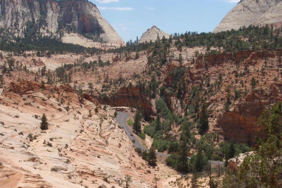
The parks, roads and weather on our routes change by the day: a road closes for snow or construction, a campground loop shuts, a heat or flash-flood warning goes out, smoke drifts in. We cannot show that live on a static site, and we will not fake it. Instead, here are the official pages to open the evening before and the morning of each driving day, route by route.
Quick answer
- Evening before: park alerts page, state road-condition map for tomorrow’s roads, forecast for where you will sleep.
- Morning of: the same road map again, and the fire and smoke map in summer and autumn.
- No signal? Park visitor centres post the same alerts. Phone 911 for emergencies; the help numbers for your rental are on My Trip.
Jump to your route: Zion, Bryce, Grand Canyon · Arches, Canyonlands · Yellowstone, Grand Teton · Rocky Mountain · Sedona, Grand Canyon · Extraterrestrial Highway · Joshua Tree, Salton Sea · Jerome, Meteor Crater · Great Sand Dunes · Craters of the Moon · White Sands, Roswell
Classic routes
Las Vegas → Zion, Bryce & Grand Canyon
- ParkZion: alerts and conditions nps.gov
- ParkBryce Canyon: alerts and conditions nps.gov
- ParkGrand Canyon: alerts and conditions nps.gov
- RoadsNevada: NDOT road conditions state DOT
- RoadsUtah: UDOT Traffic state DOT
- RoadsArizona: ADOT AZ511 state DOT
- WeatherForecast and warnings near Zion / Springdale weather.gov
- WeatherForecast and warnings near Bryce Canyon weather.gov
- WeatherForecast and warnings near Grand Canyon Village weather.gov
- AirFire and smoke map AirNow · EPA & USFS
- FireActive large fires: Nevada · Utah · Arizona InciWeb
What to look for [A]: Road and tunnel notices on the Zion page (the Zion–Mt. Carmel tunnel is where large rigs need a permit or a detour), heat warnings in the forecast for the Las Vegas and Hurricane stretches, and flash-flood wording before any canyon hike.
Salt Lake City → Arches & Canyonlands
- ParkArches: alerts and conditions nps.gov
- ParkCanyonlands: alerts and conditions nps.gov
- ParkCapitol Reef: alerts and conditions nps.gov
- RoadsUtah: UDOT Traffic state DOT
- WeatherForecast and warnings near Moab weather.gov
- WeatherForecast and warnings near Capitol Reef / Fruita weather.gov
- AirFire and smoke map AirNow · EPA & USFS
- FireActive large fires: Utah InciWeb
What to look for [A]: Arches entry-reservation and road notices, closures of unpaved roads after rain, and heat or flash-flood wording in the Moab forecast.
Salt Lake City / Bozeman → Yellowstone & Grand Teton
- ParkYellowstone: alerts and conditions nps.gov
- ParkGrand Teton: alerts and conditions nps.gov
- ParkYellowstone park roads: what is open nps.gov
- RoadsUtah: UDOT Traffic state DOT
- RoadsIdaho: ITD 511 state DOT
- RoadsWyoming: WYDOT road and travel state DOT
- RoadsMontana: MDT 511 state DOT
- WeatherForecast and warnings near Old Faithful weather.gov
- WeatherForecast and warnings near Grand Teton / Moran weather.gov
- AirFire and smoke map AirNow · EPA & USFS
- FireActive large fires: Utah · Idaho · Wyoming · Montana InciWeb
What to look for [A]: Road openings and construction closures inside Yellowstone, snow in the forecast outside July and August, and smoke on the fire map in late summer.
Denver → Rocky Mountain & Trail Ridge Road
- ParkRocky Mountain: alerts and conditions nps.gov
- RoadsColorado: CDOT COtrip state DOT
- WeatherForecast and warnings near Estes Park weather.gov
- WeatherForecast and warnings near Trail Ridge / Alpine Visitor Center weather.gov
- AirFire and smoke map AirNow · EPA & USFS
- FireActive large fires: Colorado InciWeb
What to look for [A]: Whether Trail Ridge Road is open end to end (it closes for snow, even in summer), the timed-entry notice, and afternoon thunderstorm wording for the high section.
Phoenix → Sedona & Grand Canyon
- ParkGrand Canyon: alerts and conditions nps.gov
- RoadsArizona: ADOT AZ511 state DOT
- WeatherForecast and warnings near Sedona weather.gov
- WeatherForecast and warnings near Flagstaff weather.gov
- WeatherForecast and warnings near Grand Canyon Village weather.gov
- AirFire and smoke map AirNow · EPA & USFS
- FireActive large fires: Arizona InciWeb
What to look for [A]: Heat warnings for the Phoenix valley, monsoon storm and flash-flood wording from July to September, and fire restrictions in the forests around Sedona and Flagstaff.
Unusual routes
Las Vegas → Extraterrestrial Highway loop
- ParkDeath Valley: alerts and conditions nps.gov
- RoadsNevada: NDOT road conditions state DOT
- RoadsCalifornia: Caltrans QuickMap state DOT
- WeatherForecast and warnings near Rachel (NV-375) weather.gov
- WeatherForecast and warnings near Death Valley / Furnace Creek weather.gov
- AirFire and smoke map AirNow · EPA & USFS
- FireActive large fires: Nevada · California InciWeb
What to look for [A]: Heat warnings (Death Valley is dangerous for an RV in summer), road closures after storms, and fuel: plan stops before you leave, there are long gaps.
Las Vegas → Integratron, Joshua Tree & Salton Sea
- ParkJoshua Tree: alerts and conditions nps.gov
- RoadsNevada: NDOT road conditions state DOT
- RoadsCalifornia: Caltrans QuickMap state DOT
- WeatherForecast and warnings near Twentynine Palms / Joshua Tree weather.gov
- AirFire and smoke map AirNow · EPA & USFS
- FireActive large fires: Nevada · California InciWeb
What to look for [A]: Heat warnings, wind warnings (high-sided vehicles), and the air-quality reading near the Salton Sea.
Phoenix → Sedona, Jerome & Meteor Crater
- ParkPetrified Forest: alerts and conditions nps.gov
- ParkWupatki: alerts and conditions nps.gov
- RoadsArizona: ADOT AZ511 state DOT
- WeatherForecast and warnings near Sedona weather.gov
- WeatherForecast and warnings near Flagstaff weather.gov
- AirFire and smoke map AirNow · EPA & USFS
- FireActive large fires: Arizona InciWeb
What to look for [A]: Monsoon storms and flash floods from July to September, wind on I-40, and fire restrictions near Flagstaff.
Denver → San Luis Valley, UFO Watchtower & Great Sand Dunes
- ParkGreat Sand Dunes: alerts and conditions nps.gov
- RoadsColorado: CDOT COtrip state DOT
- WeatherForecast and warnings near Great Sand Dunes weather.gov
- AirFire and smoke map AirNow · EPA & USFS
- FireActive large fires: Colorado InciWeb
What to look for [A]: Mountain-pass conditions on the drive south, wind on the dunes, and lightning wording: the dunes are no place to be in a thunderstorm.
Bozeman → Virginia City, Bannack, EBR-I & Craters of the Moon
- ParkCraters of the Moon: alerts and conditions nps.gov
- RoadsMontana: MDT 511 state DOT
- RoadsIdaho: ITD 511 state DOT
- WeatherForecast and warnings near Craters of the Moon area weather.gov
- AirFire and smoke map AirNow · EPA & USFS
- FireActive large fires: Montana · Idaho InciWeb
What to look for [A]: Snow and road notices outside summer, smoke on the fire map in late summer, and long fuel gaps on the Idaho stretch.
Phoenix → Very Large Array, White Sands & Roswell
- ParkWhite Sands: alerts and conditions nps.gov
- ParkPetrified Forest: alerts and conditions nps.gov
- RoadsArizona: ADOT AZ511 state DOT
- RoadsNew Mexico: NMDOT NMRoads state DOT
- WeatherForecast and warnings near Socorro / Very Large Array weather.gov
- WeatherForecast and warnings near White Sands weather.gov
- AirFire and smoke map AirNow · EPA & USFS
- FireActive large fires: Arizona · New Mexico InciWeb
What to look for [A]: White Sands closes US-70 and the park road during missile tests: check the park page and NMRoads the day before. Also heat and wind warnings.
Why there is no live status on this page
A status we copied here would be out of date by the time you read it, and a wrong “open” is worse than none. The pages above are run by the National Park Service, the state transport departments, the National Weather Service, the EPA and US Forest Service (AirNow) and the interagency InciWeb. They are the sources rangers and road crews update. If a link here breaks, tell us via the About page.
Sources and how we checked
Every link on this page was opened on 2026-10-28 and loaded the official page. Road sites: Nevada DOT, Utah DOT, Arizona DOT, Colorado DOT, Wyoming DOT, Montana DOT, Idaho Transportation Department, New Mexico DOT, Caltrans. Park pages: nps.gov “Current Conditions” pages. Weather: National Weather Service point forecasts for the places named. Smoke: AirNow Fire and Smoke Map (EPA and US Forest Service). Fires: InciWeb state pages.
Not from a source [A]: the “what to look for” notes and the evening/morning routine are our advice.
Affiliate note: there are no affiliate links on this site yet. Once partner links go live, they will be marked and we may earn a commission at no extra cost to you. We don't accept paid rankings. See our disclosure.